TL;DR for operators
Chen, Zou, Zhao, and Gao propose replacing some of the scene detail presented to an autonomous-driving planner with a dense map organized around planning risk.1 Their risk-aware occupancy representation combines geometric obstacles, traffic-rule constraints, drivable-area information, and predicted future agent occupancy in a bird’s-eye-view field.
The main integration result is substantial within the reported nuScenes validation setting. Adding the risk map to GenAD reduces average collision rate from 0.40% to 0.26% under the UniAD protocol and from 0.17% to 0.08% under ST-P3. Those are relative reductions of 35.0% and 52.9%, respectively.
The more informative result is the representation ablation. The risk map also produces lower collision rates than pooled 3D occupancy, binary occupancy, and a same-sized Gaussian control map. That weakens the explanation that any additional dense feature map would have helped. The reported gains are instead consistent with the idea that explicitly organizing intermediate information around planning hazards gives the planner a more useful signal.
For autonomy product and safety teams, the practical question is therefore not only how accurately a system reconstructs its surroundings. It is whether the intermediate representation exposes the distinctions the planner needs to avoid hazards. That conclusion is bounded: the experiments are concentrated on nuScenes-derived data, and the paper does not demonstrate real-world deployment safety.
A planner can receive more scene detail and still get the wrong information
An autonomous-driving planner must choose a trajectory from an imperfect representation of its surroundings. It needs to distinguish ordinary traversable space from locations made unsafe by obstacles, moving agents, uncertain free space, or traffic rules.
A common response is to improve the upstream representation: detect more objects, reconstruct more of the 3D world, or preserve more semantic detail. Those improvements can be valuable, but reconstruction quality and planning usefulness are not identical objectives.
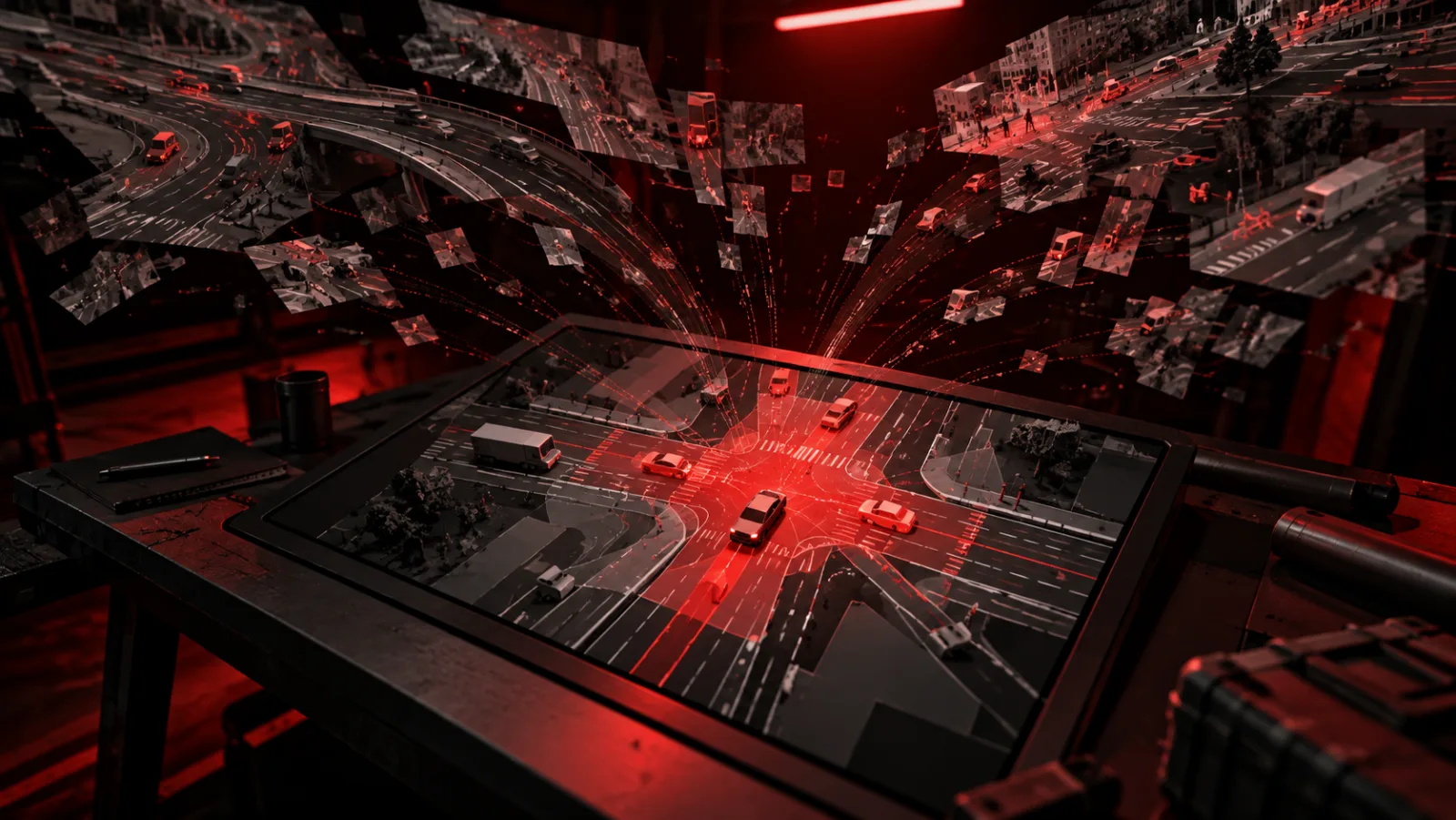
The paper tests that distinction directly. Its central proposal, risk-aware occupancy, is a dense top-down map in which locations encode how hazardous they are for planning rather than merely whether something occupies them.
This changes what the intermediate representation is optimized to preserve.
Conventional 3D semantic occupancy can contain extensive information about the scene. Risk-aware occupancy deliberately compresses that information into a lower-dimensional planning-oriented field. Static obstacle risk, regulatory constraints such as lane boundaries, drivable-area priors, and future dynamic-agent occupancy are combined into a hierarchy in which dynamic collision risk takes priority over static obstacle risk, which in turn takes priority over regulatory risk.
The paper frames this as a representation problem: retain information relevant to safe trajectory selection while discarding detail that does not need to reach the planner.
The collision result comes from changing the representation, not the base planner
The clearest experiment adds the RiskOcc map to GenAD while keeping its training and evaluation settings unchanged.
| Configuration | UniAD avg. collision | ST-P3 avg. collision |
|---|---|---|
| GenAD | 0.40% | 0.17% |
| GenAD + RiskOcc | 0.26% | 0.08% |
The absolute changes are small because the collision rates are already below one percent: 0.14 percentage points under UniAD and 0.09 percentage points under ST-P3. Relative to the GenAD baseline, however, those correspond to reductions of 35.0% and 52.9%.
This is the paper’s main downstream evidence. It does not establish a causal safety effect outside the benchmark, but the controlled integration makes the comparison more informative than simply comparing two entirely different autonomous-driving stacks.
The next experiment asks a harder question: did the planner benefit because RiskOcc contains useful risk structure, or merely because it received another dense feature map?
Richer 3D occupancy performs worse in the representation ablation
The intermediate-representation ablation replaces RiskOcc with three alternatives while keeping the surrounding setup fixed.
| Intermediate representation | UniAD avg. collision | ST-P3 avg. collision |
|---|---|---|
| RiskOcc Map | 0.26% | 0.08% |
| 3D-Occ | 0.37% | 0.20% |
| Binary Map | 0.48% | 0.24% |
| Gaussian Map | 0.55% | 0.33% |
This is an ablation, not a second headline benchmark. Its role is diagnostic.
The Gaussian map tests whether adding a same-sized auxiliary input and cross-attention path is sufficient. Its poor result argues against that explanation. Binary occupancy tests whether simple dense occupied-versus-free structure is enough. It is not. Pooled 3D occupancy supplies a semantically richer world representation, yet it also produces higher collision rates than RiskOcc under both reported protocols.
That last comparison is especially relevant for system design. More complete reconstruction does not automatically yield a more useful planning interface.
The experiment does not prove that risk-aware occupancy is a mathematical minimal sufficient statistic, nor does it directly measure the paper’s proposed conditional mutual-information gain. The authors explicitly treat that information-gain argument as a hypothesis supported indirectly by the ablations. What the experiment does show is narrower: under this setup, the representation explicitly structured around risk is associated with better collision outcomes than the tested alternatives.
RiskOcc compresses geometry, regulation, and motion into the same planning space
A bird’s-eye-view representation puts nearby geometry into a shared top-down coordinate system. RiskOcc uses that grid to express several different sources of planning constraint in comparable spatial form.
Static obstacles create persistent geometric risk. Map-derived information supplies regulatory constraints. Drivable-area priors help distinguish usable road surface from uncertain or invalid space. Predicted future occupancy from dynamic agents adds time-dependent collision risk.
ROIDrive then converts regions of this field into tokens that planning queries can attend to.
The architecture adds another mechanism called Temporal Query Consistency, or TQC. Its purpose is not to build another perception model. It acts as an inference-time reliability gate, down-weighting planning-relevant queries whose information is unstable across time.
Its ablation needs careful reading. After RiskOcc plus ego-token initialization, adding TQC reduces average collision rate from 0.36% to 0.33% under UniAD and from 0.15% to 0.08% under ST-P3, while average trajectory L2 error changes only slightly, from 0.67 to 0.69 meters and from 0.34 to 0.35 meters respectively.
So TQC’s reported contribution is specifically improved collision behavior relative to that preceding configuration, rather than a general improvement on every metric or every RiskOcc variant.
The benchmark shows that global risk is easier than future risk
RiskOcc4D-nuScenes supplies supervision for three related tasks: discrete global risk classification, continuous global risk regression, and dynamic temporal risk prediction.
Representative occupancy backbones can learn the global representation, although their strengths differ. DHDOcc-M reports the highest global mIoU at 34.15, while FB-Occ reports the lowest global MAE and the strongest reported MAE@15, MAE@30, and SSIM values.
Future dynamic risk is less settled. OccProphet obtains the lowest reported dynamic Mask-MAE at 0.524, while most other evaluated baselines fall between 0.559 and 0.734.
That gap identifies an important engineering boundary. Encoding present spatial risk appears tractable across multiple architectures; propagating risk accurately over multiple future steps remains harder. A planner that depends heavily on predicted future conflicts inherits that forecasting weakness.
Product teams should test planning utility separately from reconstruction quality
The business implication is a change in evaluation discipline rather than an instruction to discard detailed perception.
For an autonomy product team choosing an intermediate representation, the decision should include downstream safety utility alongside reconstruction metrics. A representation can preserve more of the world and still expose the wrong distinctions to the planner.
For safety engineers investigating failures, a dense risk field can also provide a more inspectable interface. A collision or near-miss can be traced to whether the surrounding area was assigned low risk, whether future dynamic risk was missing, whether a regulatory constraint was absent, or whether an unstable temporal query was allowed through. That is potentially more actionable than diagnosing planner behavior solely from sparse object tokens.
For model-development teams, the paper also suggests separating representation tests from planner-capacity tests. Comparing RiskOcc with 3D occupancy, binary occupancy, and a Gaussian control is a useful pattern because it asks whether gains come from semantic structure, density, or simply additional model capacity.
Those are Cognaptus inferences from the reported experimental design. The study itself does not measure debugging cost, development time, validation expense, or commercial return.
The current evidence stops at nuScenes-derived evaluation
The results are concentrated on RiskOcc4D-nuScenes and planning experiments on the nuScenes validation set. The paper does not report a second driving dataset, closed-course deployment, or on-road validation.
The collision improvements therefore establish comparative performance within the reported benchmark conditions, not a real-world collision reduction claim.
Dynamic temporal risk is also the weakest part of the current representation. The benchmark results show that forecasting multi-step risk remains materially harder than estimating global spatial risk.
Finally, the information-theoretic interpretation should remain an interpretation. The experiments are consistent with RiskOcc providing safety-relevant information beyond sparse instance and map tokens, but the proposed conditional mutual-information quantity is not directly estimated.
The representation itself is becoming a safety design choice
The paper’s central contribution is not another argument for denser perception. It is evidence that the information passed between perception and planning deserves independent design and evaluation.
Within the reported experiments, a compressed field organized around hazards produces lower collision rates than a richer 3D occupancy representation, a simpler binary map, or an unstructured dense control. ROIDrive then extends that idea by filtering temporally unreliable planning queries, while RiskOcc4D-nuScenes provides a way to train and benchmark the underlying representation.
For autonomous-driving systems, that moves one design question closer to the foreground: not only how much of the world the system can reconstruct, but which parts of that reconstruction should survive into the representation that actually guides a trajectory.
The current study gives that question credible benchmark evidence. Whether the same advantage persists across datasets, driving domains, and deployed vehicles remains open.
Cognaptus: Automate the Present, Incubate the Future.
-
Jiaxing Chen and Hengduo Zou and Yiren Zhao and Bolin Gao (2026). Risk-Aware Occupancy for Safety-Oriented End-to-End Autonomous Driving. arXiv:2609.21470. https://arxiv.org/abs/2609.21470 ↩︎